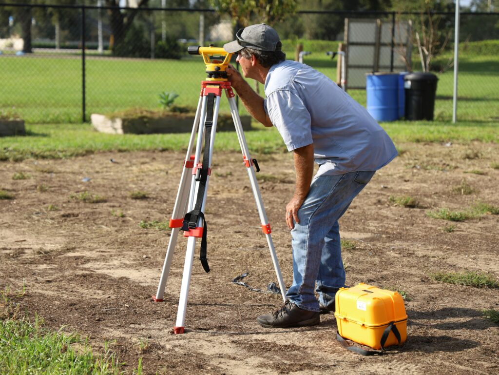
Due to the complexity of marine construction projects and the enforced protection of the waterways throughout the state of Florida, you will usually be required to get at least one survey made out during the approval process for a project in the marine construction industry. The most common surveys we see requested for projects in the marine construction industry include, boundary surveys, seagrass surveys, and XY surveys. Although these 3 surveys are the ones we will be discussing in this post, there are a series of other surveys that might also be requested throughout the permitting process for your project, either by your engineer or by your environmental reviewers / local building department. A few examples of other surveys that might be requested include: Topography Surveys, Hydrographic Surveys, As-Built Surveys, and a few others!
Boundary Survey
A boundary survey is almost always a requirement because boundary surveys measure the property lines of a specific area essentially depicting the area that is owned by a person or entity. Based on all of the information obtained from these boundary surveys, the reviewer is able to see what the existing site conditions are and this information is also essential in order for an engineer to create plans and establish control points for your project.
For marine construction projects, the riparian right lines are also typically included to mark where the owners property line ends into the waterway. By definition, riparian lines in Florida “are those rights enjoyed by real property owners whose upland property extends to the normal high-water line on navigable waters.” With that being said, if a property owners property falls immediately in front of a body of water then they have riparian rights that are protected.
Seagrass Survey
As stated in one of our previous articles (click here to read more!), seagrasses are extremely valuable to the state of Florida – because of both the economical and ecological value that they bring to the state and as a result of the value they provide to the state, they are extremely protected by regulatory agencies such as the Florida Department of Environmental Protection (FDEP) and the Army Corps of Engineers (USASOE). Both agencies have different regulations set in place to ensure their protection stays intact.
One of the main requirements that is typically requested when there are seagrasses at a proposed project site is a seagrass survey to show the current coverage of seagrasses at the location. Seagrass surveys are required by the FDEP and Army Corps for projects that are being proposed in an area where seagrasses are known to be present. When seagrass surveys are completed it is important that all SAV resources within the influence of the project are investigated, identified, mapped, and characterized.
XY Survey
X and Y coordinates are, respectively, the horizontal and vertical addresses of a point in any two-dimensional (2D) space. These coordinates help identify the exact location of a point/proposed structure. In the marine construction industry this is used to determine how far into a waterway a structure will end up projecting.
XY surveys in the marine construction industry are usually requested by the Army Corps – specifically by their navigation department. Typically, when you’re ready to request an XY survey, you will provide your surveyor with the project plans for your project and they will be able to include the XY coordinates of this structure being proposed.
Survey Coordination
Breezy Permits is able to handle the complete permitting process for marine construction projects from start to finish! With that being said, if a particular survey is being requested during the approval process for your project, our team can easily coordinate for this to be made out with one of our trusted vendors.
Hire our team for your marine construction permitting needs and experience the breeze of having our team by your side!

